Anticipated Arrival of Frigid Temperatures for Millions in Months' Absence
It's been quite some time since we've experienced prolonged autumn chill across the nation since the season commenced a month back. However, an extensive cold front alongside an incoming wave of frigid air from Canada's north will break this trend. Temperatures might plunge to 10 to 15 degrees below normal by midweek.
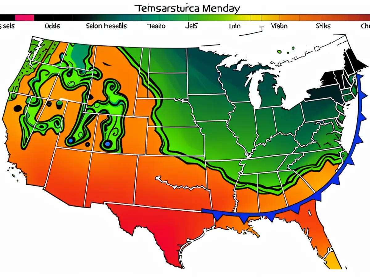
This cold wave's introduction began over the weekend with the arrival of a broad cold front that stemmed from the north-central US. This front is expected to traverse the eastern half of the US by late Monday, leading to an authentic autumn bite for certain areas during its journey.
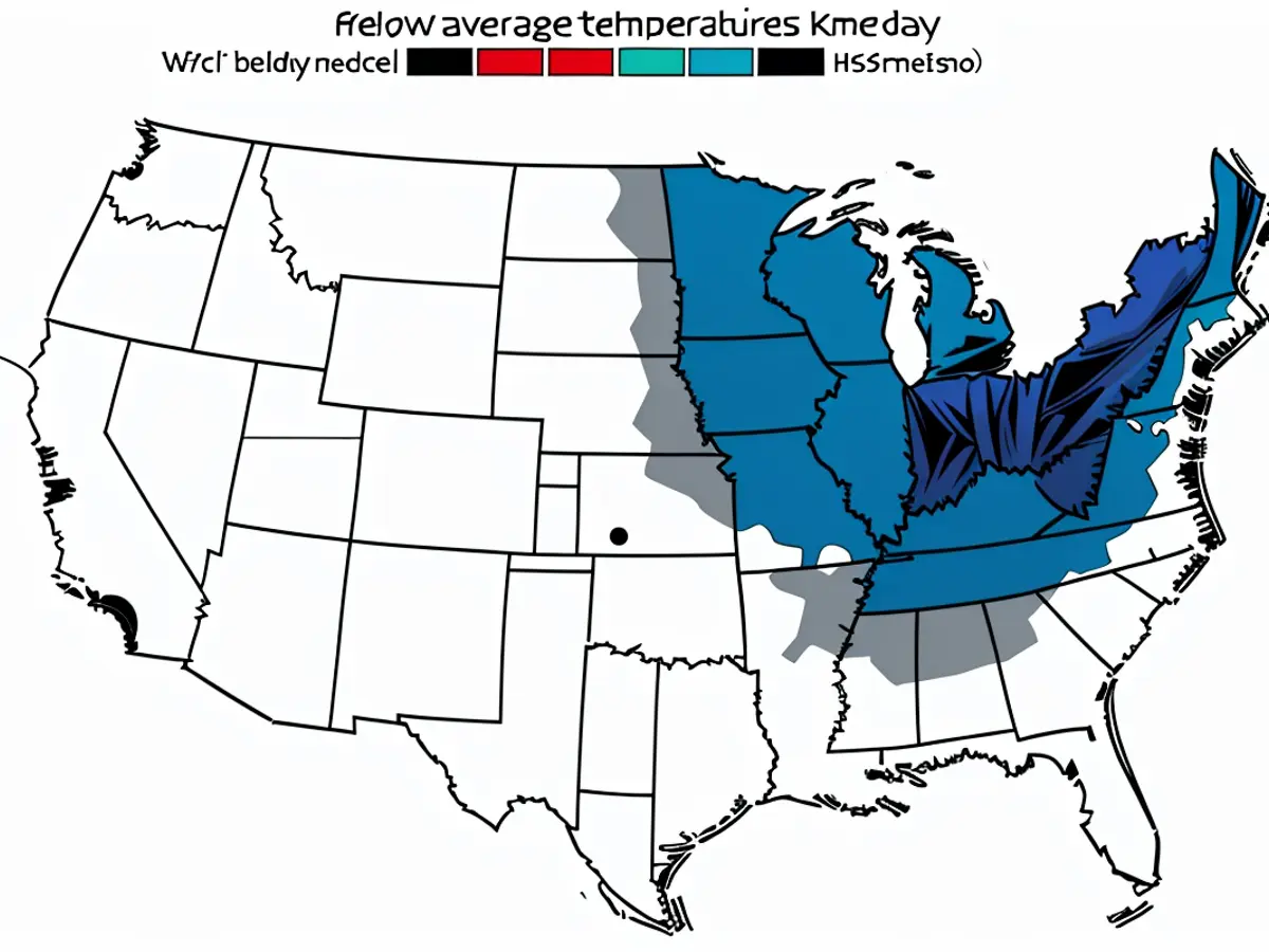
Areas mainly in the Plains and Midwest will endure the coldest temperatures on Monday, preceding even colder air from Canada's expanse pushing further south.
Midwest and Eastern regions, extending to the South, will witness seasonal cooling on Monday, while temperatures will decline significantly on Tuesday. Tuesday might be the week's coldest day in Chicago, with the high struggling to surpass 50 degrees Fahrenheit - a figure not reached since April.
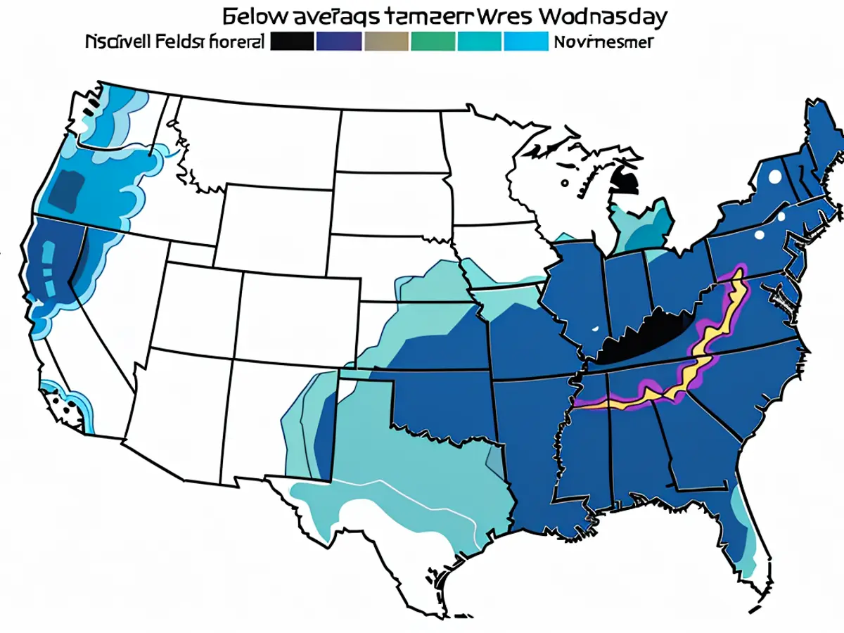
Temperatures will again dip on Wednesday for places outside the Midwest, making Wednesday likely the coolest day since spring for millions. Many regions will experience a 'late November' feel, rather than October, as a result.
"Autumn-like conditions are forecast to persist... up until the weekend's start" in the South, according to the National Weather Service in Atlanta on Monday.
Washington, DC is projected to face a hard time reaching mid-50s on Wednesday, which is 10 to 15 degrees below the typical mid-October norm.
Atlanta might struggle to breach low 60s on Wednesday and maintain the 60s temperature range until Friday. The city has not witnessed a high temperature below 70 degrees since May, while its usual high hovers around 75 degrees during this period.

A significant number of Northeast regions will experience the chilliest temperatures of the week on Wednesday, with highs ranging between 40s and 50s. The low temperatures could consequently dip below freezing.
"Frost and freeze conditions are likely for several nights and numerous locations this week," warned the National Weather Service in State College, Pennsylvania, on Monday.
Freeze alerts are in effect until Tuesday morning for certain areas of Pennsylvania. Additional alerts might be issued for additional Northeast regions and chillier Mid-Atlantic areas in the coming days.
Unprotected plants could suffer damage or mark the end of the growing season for certain regional mainstays in the face of frosty or near-frosty temperatures. Such conditions can also pose threats to individuals without appropriate heating facilities.
Freezing or close to freezing temperatures are anticipated in western North Carolina's night-time hours from Tuesday through Thursday, which was affected by Helene towards the end of last month.
By late this week, more characteristic October temperatures will return to the central US and Northeast. The chill will persist through Friday for regions located further south, such as the southern Appalachians and the Southeast.
Temperatures will revert to 70s and 80s in the Southeast by Saturday, while 60s and 70s will become common in the Midwest and parts of the Northeast.

Despite the forecast of autumn-like conditions persisting until the weekend in the South, areas like Washington, DC are projected to struggle reaching mid-50s on Wednesday, which is significantly colder than the typical mid-October norm. Further north, Atlanta might struggle to breach low 60s on Wednesday and maintain this temperature range until Friday, marking the first time the city has experienced temperatures below 70 degrees since May.


